The best hikes in the Japanese Alps
- Published on : 31/10/2017
- by : J.L.
- Youtube
Go higher!
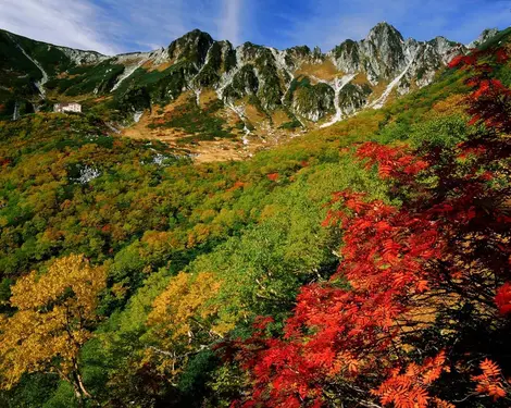
The Japanese Alps are located in central Japan and consist of three mountain ranges spread over six prefectures with twenty mountains more than 3,000 meters high with many walking routes. A true paradise for hikers.
Discover the most beautiful scenery of the Japanese Alps through the best hiking trails!
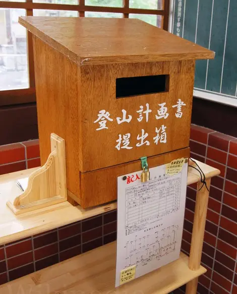
Warning: The weather in the mountains can change often and rapidly. Prepare well for the heat or cold as well as for the rain or wind. For a hike in the mountains, it's recommended - often mandatory- to record your route (tozan keikakusho) dropped in a special mailbox at your starting point and at the mountain refuge safety stations. The unexpected eruption of Mount Ontake in 2014, next to the Alps, has elevated the safety measures even more in recent times.
Kamikochi
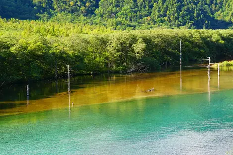
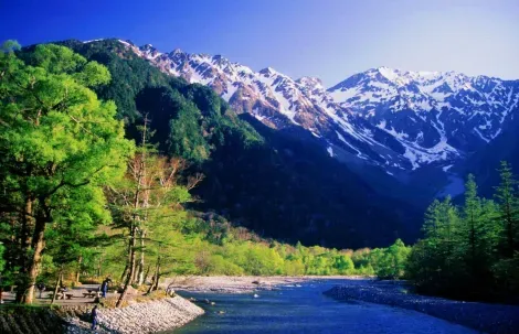
Kamikochi is an alpine valley with an average altitude of 1,500 meters located in the heart of Chubu Sangaku National Park. It's a great base for hiking and mountaineering. On each side of the Azusa River, hiking trails are arranged with several routes according to your fitness and difficulty level. From the Kappa Bridge, which is a symbolic site of Kamikochi, follow the path to Taisho Pond for a 3.5 km walk in the beautiful scenery. Admire the pond's clear water, and the lifeless trees that remain in the middle of the pond - these trees are 100 years old since the eruption in 1915. Towards the Imperial Kamikochi Hotel is the starting point to climb Mount Yake, with 2,455 meters of climbing to the summit taking two and a half hours. It's difficult but the effort is worth its magnificent panoramic view of the Alps, the valley, and to feel the atmosphere of this active volcano.
Directions: From JR Matsumoto Station, take the Matsumoto Dentetsu Line to Shin Shimashima. Then take a bus to Kamikochi. There are direct buses from Tokyo, Osaka, Nagoya, Omiya. Cars are not allowed in the valley.
Hakuba Valley
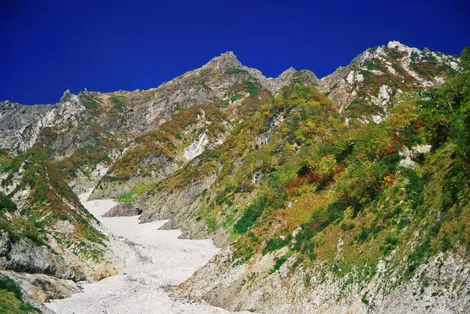
In the northernmost point of the Alps lies the mountain range of Hakuba, known for hosting the Olympic Winter Games in 1998. At Hakuba Happo One, you can easily reach the 1,830-meter altitude by taking a cable car and the chairlift from Happo station. From here you can take a trail to Happo Pond, it takes an hour-and-a-half of hiking and is 2,060-meters high. Two routes are available, on the left following the ridge of a mountain chain by a stone path; or on the right by a path lined with wood. The landscape is more open on the left, but the path is more challenging. Arriving at the pond, the reflection of snow-capped mountains in the summer or the blazing red of the colorful fall leaves is impressive. You can also reach Hakuba Daisekkei, which is an hour and a half walk through the forest. Passing through ravines and turquoise lakes takes you to the valley of the snow, the largest in Japan, which is impressive. This natural air conditioner will make you forget the blistering heat of the summer in Japan and the beautiful alpine flower fields reward all your efforts! It's still possible to continue to the summit of Mount Shirouma (2,932-meters) in five hours for the more advanced climbers with a full set of equipment.
Access : Hakuba Happo One. From Nagano Shinkansen Station, take the express bus to Hakuba Happo. Or from JR Matsumoto Station, take the Oito line, get off at Hakuba. Then take the city bus in the direction of Sarukura to Hakuba Happo. For Hakuba Daisekkei, stay on the bus until Sarukura. Or take an express bus from Shinjuku.
Komagane
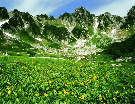
Coined the "hike in the clouds" located in the Senjojiki Cirque (a thousand tatamis) a depression formed by glaciers that eroded the land. You can ski in the spring, admire beautiful alpine plants in the summer, and at the time of the koyo, admire the colorful autumn leaves.
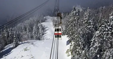
With the Komagatake Ropeway, you can access the highest station in Japan (2,612-meters above sea level) in just 7 minutes!
The scenery is dazzling on the Senjojiki Cirque and the mighty Mount Hoken. A hiking trail of 40-50 min is a good sample to take fully immerse in these wonders. There's also the option of climbing to the summit of Mount Kisokoma (2,956-meters), which takes two hours.
Access: From JR Komagane Station (on the Iida Line), take the bus to Shirabidaira, then the Komagatake ropeway.
Nakasendo
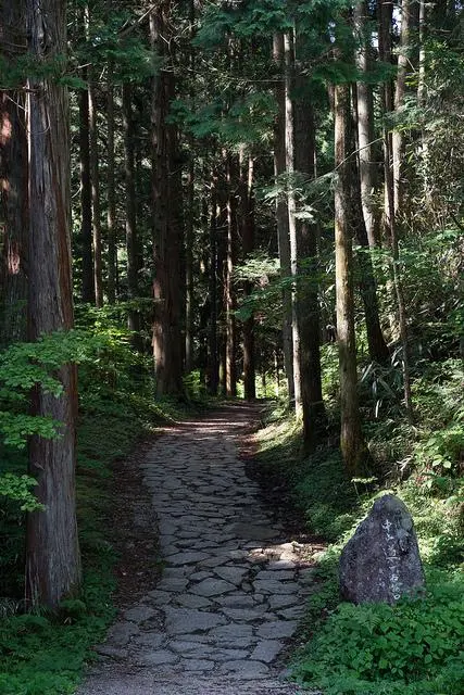
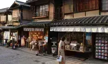
The Nakasendo road was one of the five routes between Tokyo and Kyoto during the Edo period. Tsumago and Magome are two important towns of the period, and today these small towns remain stuck in the past. Why not walk between these two villages through the cypress forest? The distance of 8km can be completed in about three hrs. We recommend starting in Magome because the route is more downhill. A luggage transport service is offered at the tourist offices in these two villages (costing 500 yen or $5/4€, with drop-off between 8:30 am -11:30 am and collection at the other end from 1:00 pm). A free bell is provided to ward off potential bears! And yes, this precaution (with a security deposit of 1,200 yen or $10/9€) may come in handy. It's possible to also take a path between two other villages, Yabuhara and Narai. It is 6km long and can be completed in about two and a half hours. It's less touristy and rather easy to access as it is located between two stations on the JR line. Bells are also available on the road.
Access: From JR Nakatsugawa Station on the Chuo line, take the bus to Magome. Direct buses run from Shinjuku and Nagoya.


